Επενδυτικά Σχέδια Καινοτομίας

The project was co-funded by the European Union and National Resources within the framework of the Action of the “Central Macedonia” Program of the National Strategic Reference Framework for Economic and Social Policy 2021-2027, “Investment Projects for Innovation”. “The project (LocalPro KMP6-0074864) aims to create a single technological web platform for the management and facilitation of the operational procedures of Local Authorities, as defined by national legislation on civil protection against natural disasters and the resulting social responsibility. The project budget amounts to €369,960.00 and the Public Expenditure to €288,170.99”.

ofire plus image

Highly accurate solution for ultra-early detection and monitoring of wildfires

“Wildfire detection as effective as it can ever get”

Are you one of the following?

A land owner looking for ways to safeguard your property from wildfires.

Our integrated suite of solutions for risk mitigation includes early and accurate detection, daily fire indices, weather forecasts, local maps, simulation, alerts & messaging.

A fire tech professional looking for ways to standardize detection sensor placement.

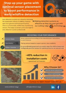
Our groundbreaking approach accurately maps the wildfire hazard and strategically positions sensors for full protection at optimal cost.

Our vision is to establish a management and mitigation system that will help make wildfire-prone areas safe and prepared.

Our mission is to bridge the gap between new technologies and wildfire risk mitigation activities.

Our value lies in the ground-breaking combination of localised data and geospatial information, sophisticated management tools and accurate early detection/warning systems.

Our game changing approach aims in minimizing the time between ignition, incident detection and critical action.

This innovative approach will help you to:

  • Enhance resilience against wildfires
  • Save lives (Social well-being)
  • Protect ecosystems (Protection of the environment)
  • Minimize economic losses (Economy)
ofire_logo-removebg-preview
Apart from the early detection / warning capabilities, our integrated system of data and tools includes daily fire indices, weather forecasts, local maps, simulation, alerts, messaging etc and is delivered in 5 packages to meet every need:
table1
table2
table3
table4
table5

Hazard mapping for optimal & cost-efficient sensor placement

Tailor-made services & consultancy for minimizing disastrous impacts

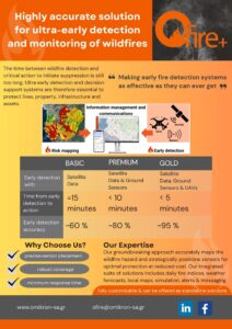
Early detection using:

Time from early detection to action:

Early detection accuracy:

Satellite Data

= 15 minutes

~60 %

Satellite Data & Ground Sensors

< 10 minutes

~80 %

Satellite Data, Ground Sensors & UAVs

< 5 minutes

~95 %

table
Designer (1)

Why Choose Us?

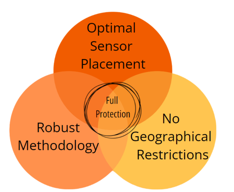
precise sensor placement

robust coverage

minimum response time

Early detection systems are critical to minimising the catastrophic effects of wildfires. However, apart from general technical specifications, there is no horizontally verified way of positioning detection sensors. This keeps uncertainty and costs high for fire tech professionals, integrating early detection and warning systems.
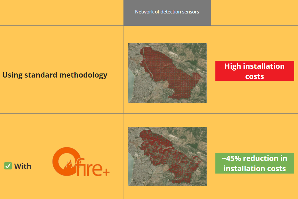
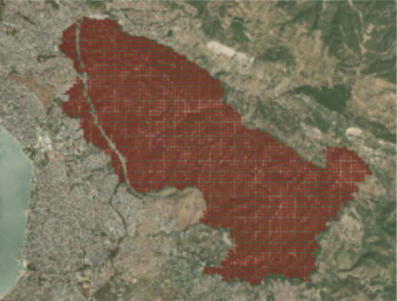
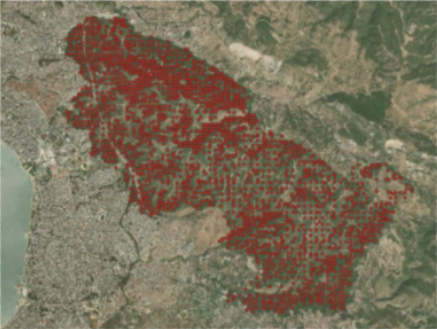
Network of detection sensors

Using standard methodology

wo_OFIRE

High installation costs

With

ofire_logo-removebg-preview
w_OFIRE

~45% reduction in installation costs

comptable
venn

Feel free to browse our material

One Pagers

version A1 - 2112023
version with yol Ofire Cooperation

White Papers

Ofire+ White paper for France-updated
Ofire+ White paper for Germany-updated
Ofire+ White paper for Spain-updated
Ofire+ White paper for Sicily-updated
Ofire+ white paper for sensor providers-updated

Pitch Deck

Contact us to arrange a call

    By pressing "Submit", I understand and accept that the information I submit will be stored and used according to the General Data Protection Regulation (GDPR).